Multi-functional GNSS positioning study with multi-constellation, multi-frequency with high accuracy and integrity
Oct 26, 2023
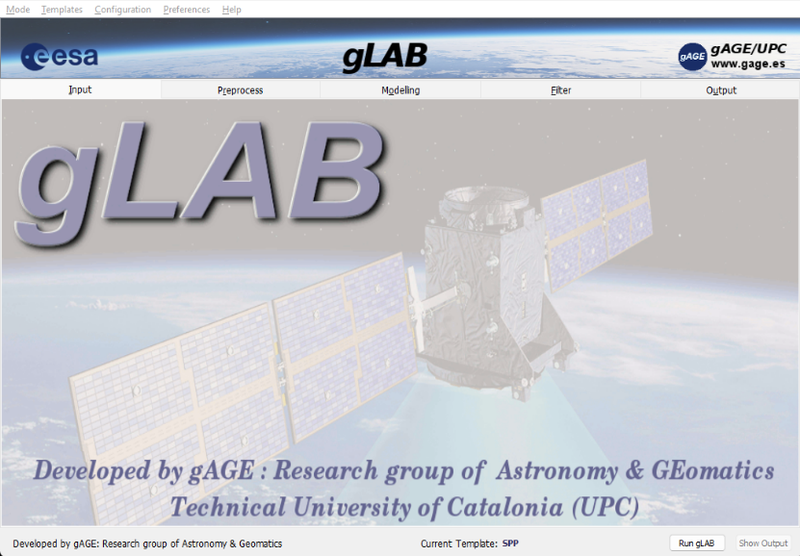
Deimos Ibáñez Segura defended his thesis co-directed by Adrià Rovira Garcia and Jaume Sanz Subirana on October 23 at the North Campus. Titled "Contributions to multi-purpose GNSS positioning to support multi-frequency and multi-constellation with high accuracy and integrity", the thesis presents, on the one hand, different methods for GNSS processing (multi-constellation, multi-frequency, fast convergence, integrity and maritime applications), and on the other hand the study of different components that affect GNSS positioning (such as the ionosphere, errors in the signal in space). All the processing is furthermore integrated into a tool, gLAB, aimed at both professionals and students, which already has an international impact and with the improvements made in this thesis will significantly increase its impact.
Global Navigation Satellite System (GNSS) have revolutionized location and timing technologies due to their low cost and wide availability. Initially, GNSS was limited to the american Global Positioning System (GPS) and the Russian GLObal NAvigation Satellite System (GLONASS). However, in recent years, new GNSS systems such as European Global Navigation Satellite System (Galileo), the Chinese BeiDou Navigation Satellite System (BDS), the Japanese Quasi-Zenith Satellite System (QZSS), and Indian Regional Navigation Satellite System (IRNSS) have been deployed. These systems offer multiple frequencies and signals, which have rendered the current processing of dual-frequency single-constellation GNSS data obsolete.
To address this issue, the Research group of Astronomy and Geomatics (gAGE) in Technical University of Catalonia (UPC) developed the GNSS-Lab Tool suite (gLAB) reference tool. Initially, gLAB was designed to support GPS only under a contract with the European Space Agency (ESA) and was later upgraded to become a reference tool for scientific studies. gLAB has demonstrated its research capabilities under ESA and European Union Agency for the Space Programme (EUSPA) contracts.
The research carried out in this PhD has made several significant contributions. Firstly, an evaluation of European Geostationary Navigation Overlay System (EGNOS), initially developed for civil aviation, was carried out for its application for maritime purposes, proving that EGNOS is valid for this use, with even improved continuity figures. In addition, a methodology for the daily evaluation of the EGNOS Signal In Space (SIS) has been developed and implemented in a Global Monitoring System (GMS) based on gLAB.
Secondly, the impact of ionospheric activity and its correct modelling on navigation, especially in SBAS systems, has been analysed. In this area, the importance of having a global index, the Along Arc TEC Rate (AATR), to measure ionospheric activity has been shown and its correlation with the degradation of the quality of service of EGNOS has been analysed.
Thirdly, the effect of positioning anomalies (both in the SIS and in the receiver) has been studied, proposing methodologies for their detection based on pseudorange residuals or by combining several signals. In any of these methods, a high degree of data pre-processing is required, for which gLAB is a very suitable tool.
Fourthly, a method for measurement management in gLAB has been developed. It comprises complex algorithmics that allows any combination of observables (single, dual, triple, or quadruple combinations) on a per-satellite basis, as well as to provide either manual or automatic measurement selection (and extend it for cycle-slip detectors).
In conclusion, the present PhD has paved the way to modern GNSS data processing beyond the state of the art.

Share: