Created a method to prevent and detect forest desertification
Feb 02, 2023
Giulio Tirabassi and Cristina Masoller have created an algorithm based on the analysis of satellite data provided by NASA's MODIS instrument that allows preventing the definitive destruction of natural environments
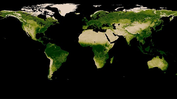
Giulio Tirabassi and Cristina Masoller of the Non-Linear Dynamics, Non-Linear Optics and Lasers (DNOLL) research group of the Universitat Politècnica de Catalunya - BarcelonaTech (UPC), have been analyzing for months the state of the forest mass of the large tropical forests in through satellite data provided by NASA's Moderate Resolution Imaging Spectroradiometer (MODIS) instrument, which records the amount of trees living in Earth's various forested areas.
Crossing this data with the rainfall history of rain falling in the same forests, the UPC researcher in Terrassa has been able to identify areas where tropical forests are at risk of crossing a point of no return. Later, he was able to establish a statistical relationship that allows a decrease in rain to be related to an increase in the risk of desertification of the forest.
The result is an algorithm based on what in scientific terms is called permutation spatial entropy. Thanks to this algorithm, the managers of large natural spaces could predict how close the point of no return is for a forest that is degrading towards desertification, as a result of the lack of rain or the uncontrolled felling of trees .
The research has recently been published in the reference scientific journal PNAS with the title Entropy-based early detection of critical transitions in spatial vegetation fields

Share: